9 km · 3 h
Blanes - Lloret de Mar
Pines, coves and the official gateway to the Costa Brava.
Hiking guide
The coastal path of the Costa Brava (part of the GR-92) links villages and coves for 200 km. These are the 8 essential stages, all with a village at each end for transfer pick-up.
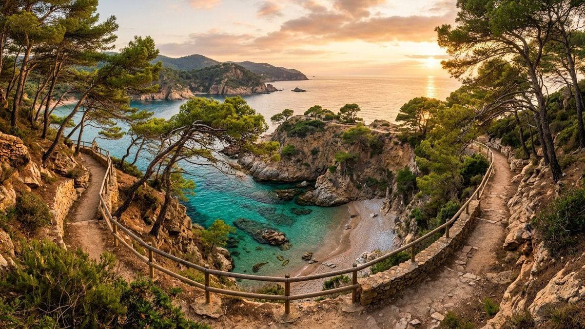
8 essential stages
Each stage ends in a village with food and transfer service.
Pines, coves and the official gateway to the Costa Brava.
The queen stage: cliffs and coves with no road access.
Cala Pola, Giverola and the turn around Sant Pol bay.
The most elegant stretch: S'Agaro and its walk over the sea.
Cala del Pi, Castell and s'Alguer cove before the port.
Sant Sebastia lighthouse and the best views of the comarca.
Canadell and El Golfet coves, short and perfect for snorkel.
Illa Roja and the most photographed coves of the north.
The best months are May-June and September-October: mild temperatures and clear water. In July and August walk early, carry at least 2 litres of water and book your pick-up transfer in advance — many coves have no road access, so the return starts from the village at the end.
Sport shoes are enough for most stages; only Tossa - Sant Feliu has rocky sections that reward boots.